GIS has taken big steps forward in recent years and firmly positioned itself on the internet. Today, the public make use of online GIS systems almost daily be it through services providing directions from A to B, to take a look at their neighbourhood from Space or to find a nearby business. Similarly businesses use web-based GIS today more than ever to share spatial data internally and externally.
habitat INFO can help your organisation install, deploy and maintain web-based GIS systems. We have experience with a variety of clients in designing spatial databases for them which then have an online presence. These can be embedded into the clients own websites or accessed via an external portal. We can also facilitate the collection of data via mobile recording and ensure that the service has the required security in place to keep your data safe.
Projects to date have included:
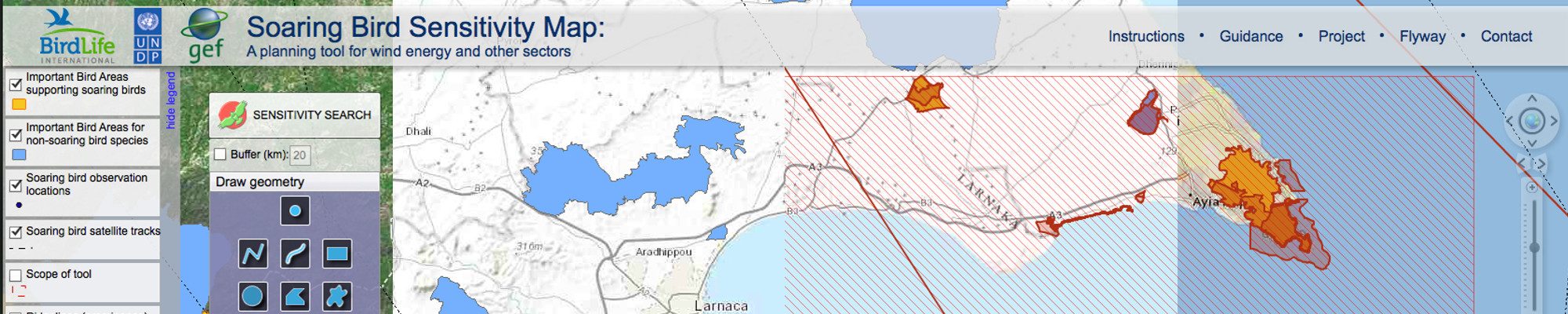
- Migratory soaring birds wind turbine sensitivity web tool
- Dragonfly records
- Cetacean records
- African Raptors
We have experience with Adobe Flex, ESRI ArcGIS Online and ESRI ArcGIS Server. Please contact us for more information and see the links below for examples of the web-based GIS projects that we have been involved in.
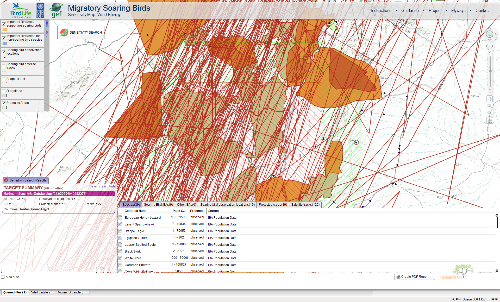
BirdLife Migratory Soaring Birds webtool